09 / Local history, and why it is still operational
The railway built Sutton in twenty years, and its bridges still choose the vehicle
Every low arch in this borough is a receipt for the decade when a Surrey village turned into a town.
Before 1847, Sutton was a coaching stop and very little else. The London to Brighton stagecoach began running in 1760, and the Cock Hotel — on the hill where the road from London met the road west — was the nine o'clock stop for coaches leaving the city. That is the whole of the town's transport history up to that point: a village on a turnpike, with an inn where the horses were changed. It is a pleasing thought that the first business in Sutton to move groups of people out of London was in exactly the trade this page is in.
Then the railway arrived, and kept arriving
Sutton station was opened by the London, Brighton and South Coast Railway on 10 May 1847. What happened next is one of the sharpest population curves in south London. Sutton's population more than doubled between 1851 and 1861 — and then more than doubled again between 1861 and 1871. By 1881 there were 10,334 people here; by 1901, 17,223. A village became a town inside a single working lifetime, because a train could now get you to London before nine.
That much is true of half the suburbs on the Southern. What is unusual about Sutton is that the railway did not arrive once and stop. A branch to Epsom Downs opened on 22 May 1865. A line to Mitcham Junction followed on 1 October 1868. And the last of them, the branch to Wimbledon, opened on 5 January 1930 — which is to say, while the inter-war semis either side of it were still being built.
Four separate arrivals, spread over eighty-three years, each one laying another embankment across a town that was filling up around them. The result is not a town with a railway through it. It is a town cut into blocks by railways, where every road that needs to get from one block to the next has to duck under one. And the Victorians who built those bridges built them to clear the traffic of the day: a horse and a cart.
The receipts, in metres
Those arches are still there, still carrying trains, and still signed. Grange Vale is posted at 3.50 m. Shorts Road, in The Wrythe, at 3.81 m. Langley Park Road in Benhilton at 4.27 m. West Street at 4.42 m and Forest Road at Rosehill at 4.50 m. Five signed limits inside one London borough, all of them at the point where a road ducks under a railway, and every one of them a number that was generous in 1870 and is tight now.
You can read the map off those numbers alone. They are not scattered randomly. Four of the five sit between one and one and a half kilometres from the middle of town — a ring, not a scatter — on exactly the residential roads that connect one Victorian or inter-war estate to the next. They are the seams where the railway cut the town, and in most cases the bridge was there before the houses on either side of it.
Why this ends up on a hire company's website
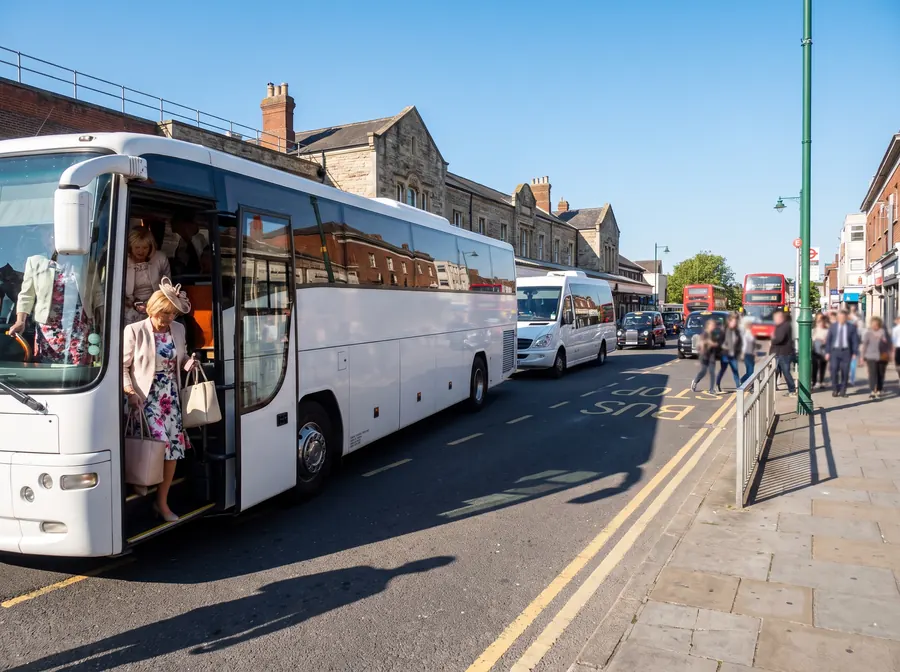
Because it is the difference between a job that works and a job that turns round in somebody's driveway — and because those five bridges sort our fleet into three groups rather than two. A mainstream 49 to 53-seat coach is not the 4.4 m monster most height lists assume: a Mercedes-Benz Tourismo is 3.68 m with its air conditioning on the roof and a MAN Lion's Coach is 3.87 m. Two of the five stop a vehicle that size — Grange Vale and Shorts Road. The other three do not touch it.
The 4.4 m figure belongs to the double-decker, and for the decker the picture inverts: three of the five stop it outright, and the remaining two leave it 2 cm and 10 cm, which is not a margin, it is a coincidence. And the 16-seat minibus at about 2.8 m is untouched by all five — the nearest limit that would actually stop one is more than five kilometres away, on a country lane at Chipstead in Surrey, and nobody is driving a school group down it.
There is a neat symmetry in this. The railway is what made Sutton big enough to need coaches, and the railway is what stops the biggest ones from getting round it. The town that grew because of the trains is now shaped, at street level, by the height of the bridges those trains run on. When we put a 53-seater on a job in SM1 instead of the double-decker somebody pictured, that is not cost-cutting or a downgrade. It is the 1860s, still deciding.
None of this is guesswork. The height data comes from OpenStreetMap's contributors, and we checked every road on the list against its own coordinates before we put it on this page, because the search that produced it reaches up to four miles out into Croydon, Merton and Surrey. Fourteen of the nineteen limits it returned are not in Sutton at all. One of them is called Cheam Road and is in Ewell.
Tell us the postcode and the group size and we will tell you which vehicle fits the street, before you book it rather than after.